


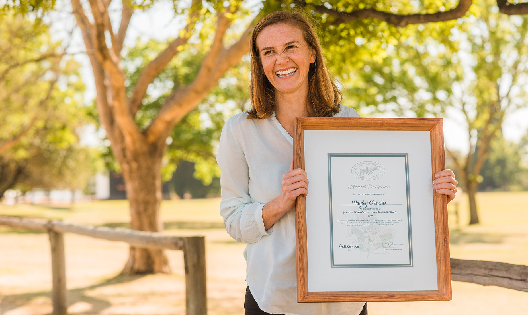
 Dr Hayley Clements holding the Jennifer Ward Oppenheimer Research Grant award.
(Photo: Supplied)
Dr Hayley Clements holding the Jennifer Ward Oppenheimer Research Grant award.
(Photo: Supplied) It’s taken four years, 200 people and $150,000, but now, says Dr Hayley Clements, “we have this phenomenal map that shows us the state of biodiversity across sub-Saharan Africa. It’s beautiful. It’s just really cool.”
Clements is an interdisciplinary conservation scientist in African biodiversity at Stellenbosch University’s Centre for Sustainability Transitions.
With funding from the Jennifer Ward Oppenheimer Research Grant, facilitated by Oppenheimer Generations Research and Conservation and Oppenheimer Philanthropies – of which Clements was the inaugural recipient – she has partnered with biodiversity experts from across the African continent and has now developed a Biodiversity Intactness Index that is visually represented in the form of a map.
At a glance, it is possible to see which parts of the continent are doing well and which are in trouble, and how different types of human activity affect over 50,000 species in sub-Saharan Africa.
Clements will be addressing the 12th Oppenheimer Research Conference in Midrand from 4-6 October on the topic, “Putting biodiversity on the decision-making map: Building a Biodiversity Intactness Index for Africa”.
She explains that “Botswana and Namibia have the highest intactness left, at 87%, and the most transformed are Rwanda and Nigeria, which have about 50% intactness left.”
Biodiversity hotspots include the Guinean forests of west Africa, the Cape Floristic Region and Succulent Karoo of South Africa, the coastal forests of eastern Africa, and Afromontane regions across the continent.
The impetus behind compiling the index was the need to get a grip on biodiversity loss, which results from factors including climate change, urbanisation, habitat destruction, pollution and wildlife exploitation.
This will provide decision-makers with information on how to “navigate development in ways that do not surpass a boundary of biodiversity loss, beyond which human well-being is negatively affected”.
Clements says she was also motivated by “a frustration with some of the global maps trying to document where biodiversity was and how well various regions of the world were doing at conserving their biodiversity, and they just did ‘badly’ for Africa”.
“For the most part, they were underestimating how much biodiversity remained in Africa’s rangelands. I think one reason for that is the northern conservation model, which is the ‘preservation model’ that we have all had thrust upon us, which thinks that things should be forest, and if they’re not forest then they’re degraded. And that is not true for most of the African savannas, which would flag red when we knew that that is just not the case.”
This is critical, because “for decision-makers, a major barrier to tackling the challenge of biodiversity loss on the African continent is the lack of access to local data on biodiversity loss and its impact on people. Evidence-based information is required to support national and international policy, and to help countries and regions reach sustainable development goals while preserving important ecosystems.”
/file/dailymaverick/wp-content/uploads/2023/09/bii-map.jpg "(Image: Supplied)")
Clements felt she could do better by producing an appropriate map for an African context that people could use.
However, the task was going to be enormous.
“Part of the challenge was that the data we need to map out biodiversity isn’t readily available in these global data sets, but that doesn’t mean that the knowledge, and in some cases the data, doesn’t exist. You just have to go out and look for it.
“So, an enormous part of this project, which was much bigger than I had anticipated, was finding the people who had the knowledge across the continent. And we found 200 of them. That was one of the major contributions of this project – finding those people and bringing them together.”
Then, with their expert knowledge, it was a question of breaking down “the whole of sub-Saharan Africa into grids of pixels, each representing one square kilometre, and each pixel has a colour determined by the intactness score. And that tells us… if you look across the thousands of plant and animal species that should be found in that area, how much of their abundance remains, compared to what it would have been pre-industrial?
“What we see is that the eastern half of South Africa, moving up the eastern coast up to the eastern arc mountains (in Kenya and Tanzania), is largely a cropland belt. And those areas are a lot more red. Then moving across to the west, those forests have been hammered, and that flashes red.
“Then down the middle of the continent and the west coast, there are a lot of intact ecosystems. Some of them are forest, like in the DRC, but a lot of them are rangelands where people live with their livestock and where there are quite high levels of intactness.”
And now comes the exciting part, says Clements.
/file/dailymaverick/wp-content/uploads/2023/09/HayleyClements_full-shot.jpg "Dr Hayley Clements. (Photo: Supplied)")
“A lot of interesting questions are emerging. For example, most of the biodiversity remains in Africa’s rangelands and more forested areas, and where biodiversity is getting hammered is in croplands.
“We know that sub-Saharan Africa has the highest growth rate in the world; we know that our croplands have the poorest yield of anywhere in the world. So there are difficult questions: should we expand croplands into these more natural areas, or should we intensify them?
“This is bad for biodiversity, according to our map, but it also means you’re getting more yield without having to expand into untransformed areas.”
What developing countries, and indeed all countries, need to avoid is hitting planetary biodiversity boundaries, which, if crossed, “push the Earth out of its safe operating space for humanity. And we’re starting to see some really interesting thresholds, where if the biodiversity intactness declines beyond a certain point, often around 70%, we start to see this dropout of a whole bunch of important functional groups of species”.
The research for the index threw up some surprises, says Clements.
“What struck me is that when people talk about losses of biodiversity, they usually blame it on where people live, in towns and cities, which obviously do hammer biodiversity, and they blame it on transformed land such as croplands and plantations and mines.
“But when you look at a map of land use across Africa, and how that translates into a map of biodiversity intactness, what is striking is that the vast majority of the land has not been transformed.
“Croplands cover maybe 10% of sub-Saharan Africa, and settlements cover less than 1%. So, yes, they hammer biodiversity, but they don’t cover a lot of the land area.
“When you work it out, we’re losing most of our biodiversity in the untransformed areas: the rangelands and the forests, but those are also key to conserving what remains.
“The other thing that struck me is that while protected areas are important for biodiversity, they only cover about 8% of the land area. In terms of the biodiversity that remains, then, they don’t contain a lot of it, compared to these unprotected areas that people live in.
“We can’t just be relying on protected areas; we have to engage with people in these landscapes that conserve most of the remaining biodiversity.”
Clements notes that there are some areas the experts were less confident about than others. For example, “because we asked all these experts to estimate how different animals are impacted by different types of human activity, the extent to which they agree tells us how much knowledge there is about how certain groups of animals or plants are impacted by different land uses”.
“We know how elephants respond to human activity. But then there are frogs, where for many species we have no idea. With some plant scores, we also have quite low confidence intervals, because experts don’t necessarily agree on how groups respond to change. Bear in mind that we haven’t even described all the species, let alone know their ecology.
Furthermore, “our ability to translate those estimates into a map is only as good as how well we can map land use intensity. Croplands are easy to map because they’re easy to see from space and we’ve got the data, but for rangeland intensity, it’s harder.
“And for forests, it’s really hard, because from space a forest may look intact, but what’s going on on the ground?”
Clements points out that “we only did this exercise for vertebrates and plants because those are the species where there is enough expertise. We should be including invertebrates, soil microbes, etc. There are a lot of species where there are massive data gaps, and we can’t even begin to try to map them.”
The project also forced the experts to wrestle with some philosophical questions.
“All the indicators we’re looking at,” says Clements, “are relative to a ‘desired’ reference state. But what is this state? If it’s pre-industrial, then there were still people in that landscape, and they were good for biodiversity. If it’s a modern-day protected area, that means a landscape without people.
“It emerged through the process how conceptually hard what we’re trying to do is. You’re trying to make it very simple so that it produces a standardised map that’s simple enough to be useful. But biodiversity is a very complex thing, and then overlaid on that is the complexity of what we value about biodiversity, and what we think of as the baseline.
“But what underlies that, are these philosophical debates, and how do we decide how red or green an area is? People think that science is just about one truth, but that’s not the case.”
Moreover, there is a matrix of knowledge and information that needs to be correlated in order for sense and direction to emerge.
“One of the criticisms of the global maps,” says Clements, “is that they don’t correlate with things such as the Human Footprint Index. We would expect that areas where there is a high human footprint – where there are more people, more roads, more nightlights – would have lower scores. And areas with a lower footprint would have higher scores. And some of the global maps don’t look like that, even though they should.
“Whereas when we correlate our scores with the Human Footprint Index – which reflects intensity of human use – we see quite an encouraging relationship. There are people almost everywhere on the continent and most of it has quite high intactness.
“People are not bad for biodiversity. That’s not the message. That kind of message is very problematic because it separates people from biodiversity. I call myself a social-ecological systems scientist, and I consider people to be part of nature … It’s problematic to say that to conserve nature we have to remove it from people. Absolutely not.”
To illustrate the different levels of impact, Clements compares monoculture cropland, “as you see just around the corner from me here in the Cape”, to smallholder cropland, “where you’ve got agroforestry and different kinds of crops being harvested at different times”.
“Those two landscapes both have people in them,” she says, “with the smallholding maybe having more people in it, but they have dramatically different impacts on biodiversity.”
Clements says she is looking forward to using the insights from the project to inform her “passion area”, which is the wildlife economy.
“Africa’s rangelands are where much of biodiversity is to be found. So what do we do with rangelands, and how do we ensure that biodiversity remains in them and they don’t get ploughed up for croplands or intensified?
“One way for that to happen is through wildlife economies: how do we make wildlife a viable and competitive land use compared with croplands?
“It’s a big frontier research space to find how to unlock the wildlife economy,” she says, and here too she acknowledges the need to grasp a philosophical nettle.
“The challenge in this is that many of us ideologically don’t like capitalism, and yet we are in a capitalist world. When we have a dis-ease about putting a value on wildlife, it’s really a dis-ease about capitalism.
“I think it’s good for us to push back against capitalism while recognising that we’re in a capitalist world and that people need to make money to live. They have to have land uses. Then how can we think about livelihoods and land uses that are good for people and nature?
“One of the most obvious ways to do that is to value nature because then it can become a livelihood for people.”
But for now, Clements is just thrilled to have completed the map.
“It’s finished. It’s beautiful. It’s ready to go up on the website Biodiversity Intactness for Africa, once our scientific papers have been published.
“By the end of the year, the map will be out there for the world to use.” DM
Yves Vanderhaeghen writes for Jive Media Africa, science communications partner of Oppenheimer Generations Research and Conservation.