


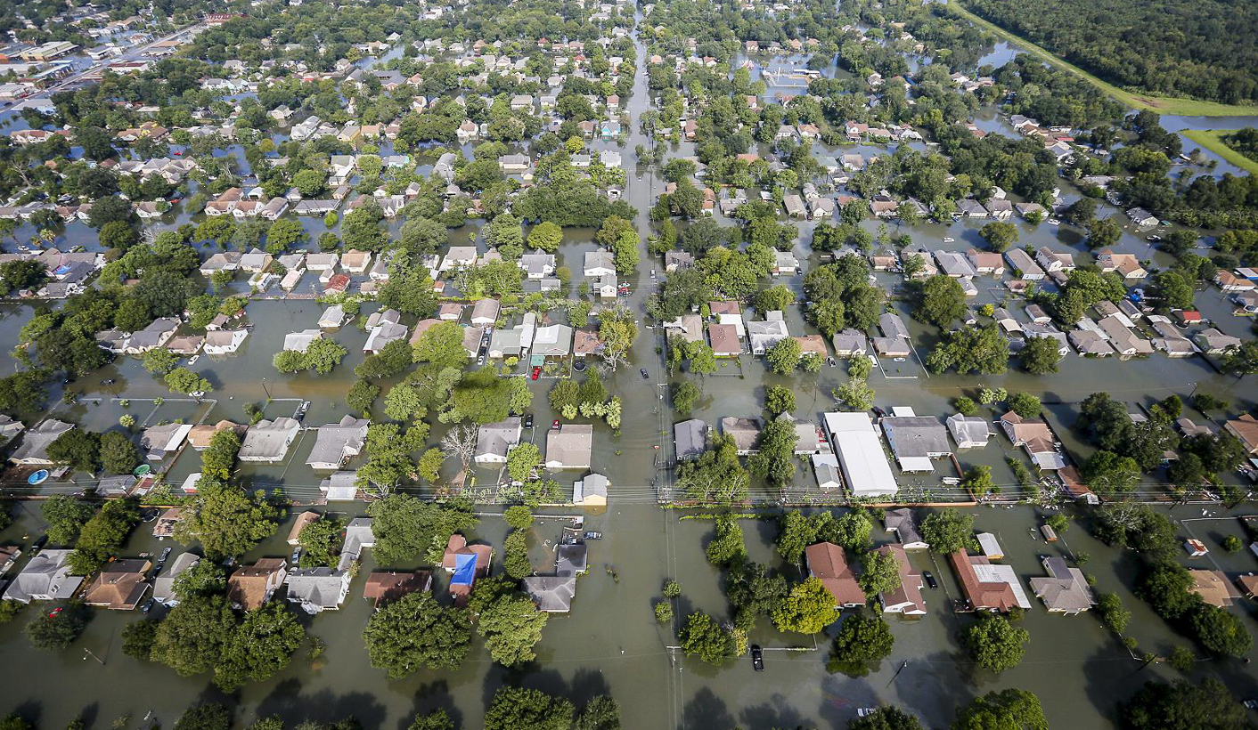
 A handout image provided by the Air National Guard shows an aerial view of extensive flooding caused by Hurricane Harvey in a residential area in southeast Texas in 2017.
 Dallas and Fort Worth are under flood warnings through the afternoon while other counties to the south and east continue to be under flash flood warnings, according to the National Weather Service. Additional rainfall of about 2 inches to 5 inches are possible across the region, with isolated amounts over 8 inches, the agency said.
“It fell too fast, too furious,” said Jonathan Porter, chief meteorologist at commercial forecaster Accuweather. “This is life-threatening flash flooding.”
Rainfall at Dallas Fort Worth International Airport set a preliminary record with 3.01 inches in one hour, Porter said. That bested the record of 2.9 inches that fell in one hour in August 1976. Climate change has fuelled more frequent historic rains and flooding since a warmer atmosphere tends to support greater moisture, which has lead to an acceleration of these kinds of extreme rainfall events, he said.
Police in Fort Worth responded to more than 50 water-related emergencies overnight and the city’s fire department asked people to stay home, according to tweets from the agencies. Photos posted online show cars on surface streets submerged to their windshields and highways that look like rivers. Parts of Dallas received more than 14 inches of rainfall in the past day, according to city records.
“It’s a one-in-200-year event, at least,” said to Ryan Truchelut, chief meteorologist at commercial forecaster WeatherTiger. “That's not normal, by any means,” he said. National Oceanic and Atmospheric Administration data backed up that point. Average annual rainfall in the area is about 35 inches, so some neighbourhoods had as much rain as would normally fall in four months, he said.
The period before the downpour was abnormally dry, with less than an inch of rain in July and August up until a few days ago, Truchelut said. The heavy rain comes after a moisture surge out of the Pacific Ocean combined with moist air from the Gulf of Mexico, he said.
The heaviest rainfall began to shift into central Texas at about 1pm local time, but flooding will remain in north Texas for at least a few more hours, according to the National Weather Service.
“They will get a chance to dry out overnight and through the rest of the week,” Truchelut said, adding that the weather will move east with potential for rainfall of up to 5 inches in Louisiana, Arkansas and Mississippi in the coming days.