
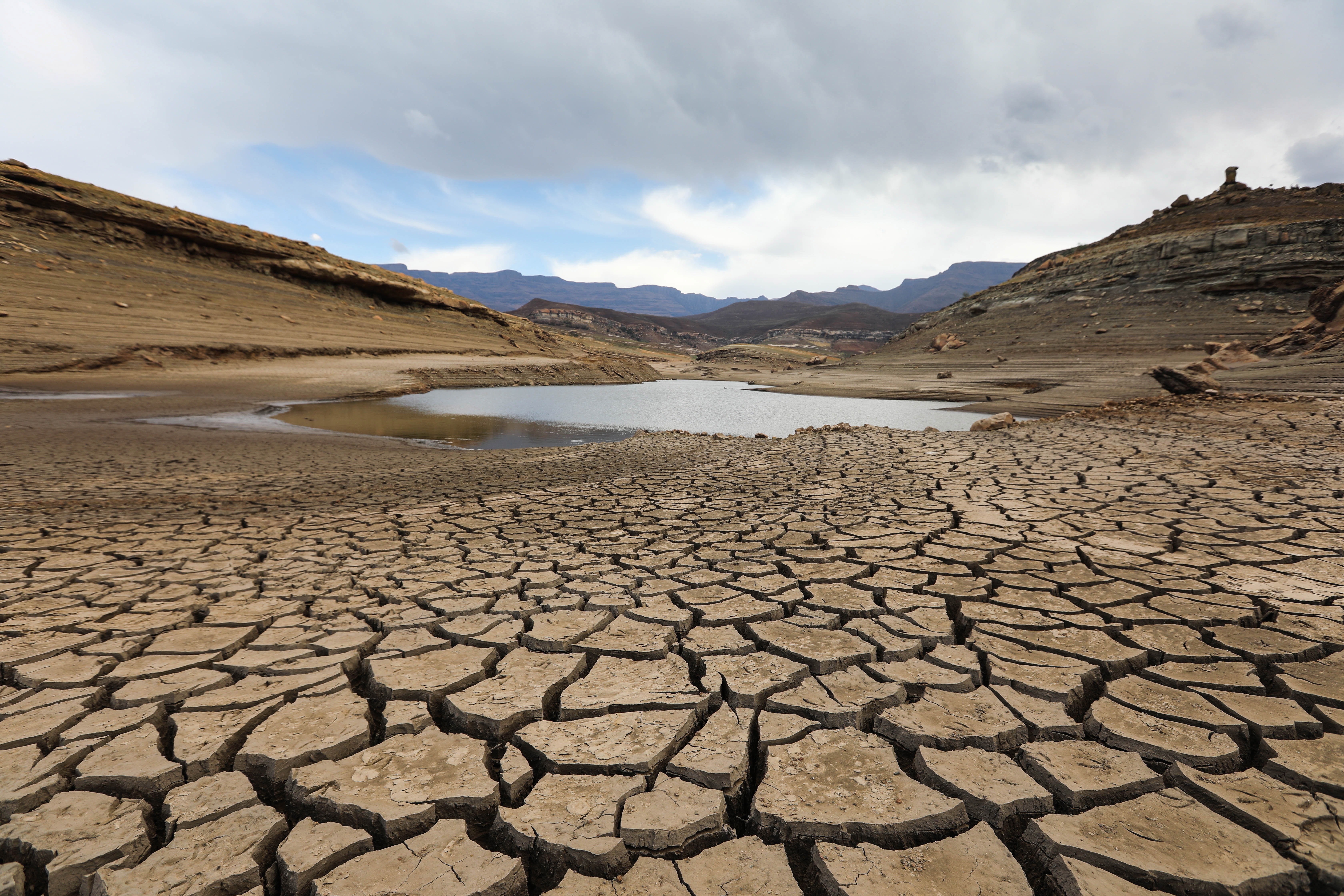
 Dry cracked earth on Fika-Patso dam bed near Qwaqwa in the Free State on 22 October 2019. The area was experiencing the worst drought in modern history. (Picture: Alaister Russell / The Sunday Times)
 It’s official: the El Niño weather pattern has now emerged from the warming waters of the Pacific, raising the spectre of extreme weather events across the world, including the potential for searing droughts and blazing temperatures in this region.
Bloomberg reported on Wednesday that the Japanese Meteorological Agency (JMA) had made the call – the first major weather service to do so – and that it “expected it to intensify in the coming months, and become very strong later in the year, persisting into at least December”.
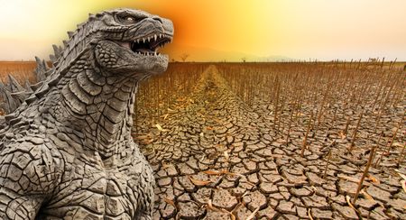
Global forecasters have been warning for months that this brewing El Niño could be on steroids – with some commentators likening it to a “Godzilla event” – which, given its historical spoor, would have massive social and economic consequences in southern Africa.
Last week, the UN’s World Meteorological Organization (WMO) issued a stark warning to prepare for the coming storm.
“We need to prepare for a potentially strong El Niño event – which will exacerbate drought and heavy rainfall and increase the risk of heatwaves both on land and in the ocean. The most recent El Niño, in 2023-24, was one of the five strongest on record and it played a role in the record global temperatures we saw in 2024,” WMO secretary-general Celeste Saulo said.
El Niño is triggered by a warming of surface sea temperatures (SSTs) in the tropical Pacific.
The European Centre for Medium-Range Weather Forecasts said pointedly on Wednesday that the “average SST for 60°S–60°N in May 2026 was the second highest on record for the month” and that “SSTs remained at exceptionally high levels across a large portion of the tropical Pacific”.
For South Africa and neighbouring countries, anticipated droughts this summer season could hammer crop production – notably for the staple maize – see livestock culls on a massive scale, evaporate dam levels against the backdrop of crumbling water infrastructure, and drive food prices higher, fanning the flames of inflation ignited by the Iran war.
The Reserve Bank warned in May when it hiked interest rates that El Niño loomed large in its scenario planning and in the most adverse case could push inflation above 6.0%, a state of affairs that would require three additional rate hikes.
If you don’t think El Niño will affect you, check your bond and credit card repayments in a few months.
The risk of forest and veld fires will also be elevated, while the region’s treasured parks and wildlife will suffer as climate change linked to fossil fuel use amplifies the effects.
And the political temperature could rise ahead of November’s local government elections as failing municipalities grapple with cadre-caused water shortages exacerbated by potential heatwaves.
Not all doom and gloom
Still, there are green sprouts in this looming and arid landscape.
Thanks in part to the rains of La Niña – the polar opposite of El Niño which typically unlocks moisture from the skies in this region – South Africa and other countries in this region have had bumper maize crops which should provide a supply cushion.
The latest estimate from the government’s Crop Estimates Committee is that South Africa’s maize production for 2025/26 will be a record 17.1 million tonnes, including 9.2 million tonnes of white maize – the country’s largest source of household calories.
South Africa’s annual maize consumption is about 12 million tonnes, so there should be ample carry-over stocks in the event of a stunted harvest next year.
“Based on historical scenarios, a moderate El Niño like 2015/16 could imply production around 20% below the five-year average, while a stronger dry scenario could result in a decline closer to 35%. An extreme drought scenario, like 1991/92, would be far more serious and could imply a decline of around 50%, but it is still too early to assume such an outcome,” industry group Grain SA said in an emailed response to Daily Maverick’s queries.
“From a supply-and-demand perspective, South Africa still has a buffer. Using a five-year average production base of about 15.6 million tons, a 20% production decline would still leave an estimated carry-out stock of approximately 1.28 million tons. Under a 35% production decline, there would still be stock available.”
Red flags will be raised if production falls 40%, in which case there would be a small deficit of about 154,000 tonnes.
Elsewhere in the region, Zambia’s projected maize harvest this season of 4.9 million tonnes will also be a record, far surpassing last year’s record of 3.9 million tonnes.
At least for now, this has all helped to keep a lid on prices and food inflation. What is of huge concern to farmers is the soaring cost of fuel and fertiliser and the uncertainties weighing on decisions for planting next season.
South Africa is braced on other fronts as well. According to the latest weekly update from the Department of Water and Sanitation, provincial dam levels outside of the Western Cape are all over 90% – another legacy of La Niña. The levels in a year’s time are anyone’s guess, but you want to at least be in this space in the event of a drought.
Grain SA said a key indicator to watch will be moisture levels in January.
“If January plant-available water (moisture levels) remains above roughly 70mm, historical data suggests yield losses are more likely to remain in the 5% to 20% range compared with the five-year average,” Grain SA said.
For the region more widely, concerns will emerge if there are crop failures in countries such as Malawi at a time when donor and aid funding – and not just in the US – have dried up. That will hamper efforts to address rising hunger.
The bottom line is that this El Niño is no longer in the future. It’s started and the only question now is how severe it will become. DM