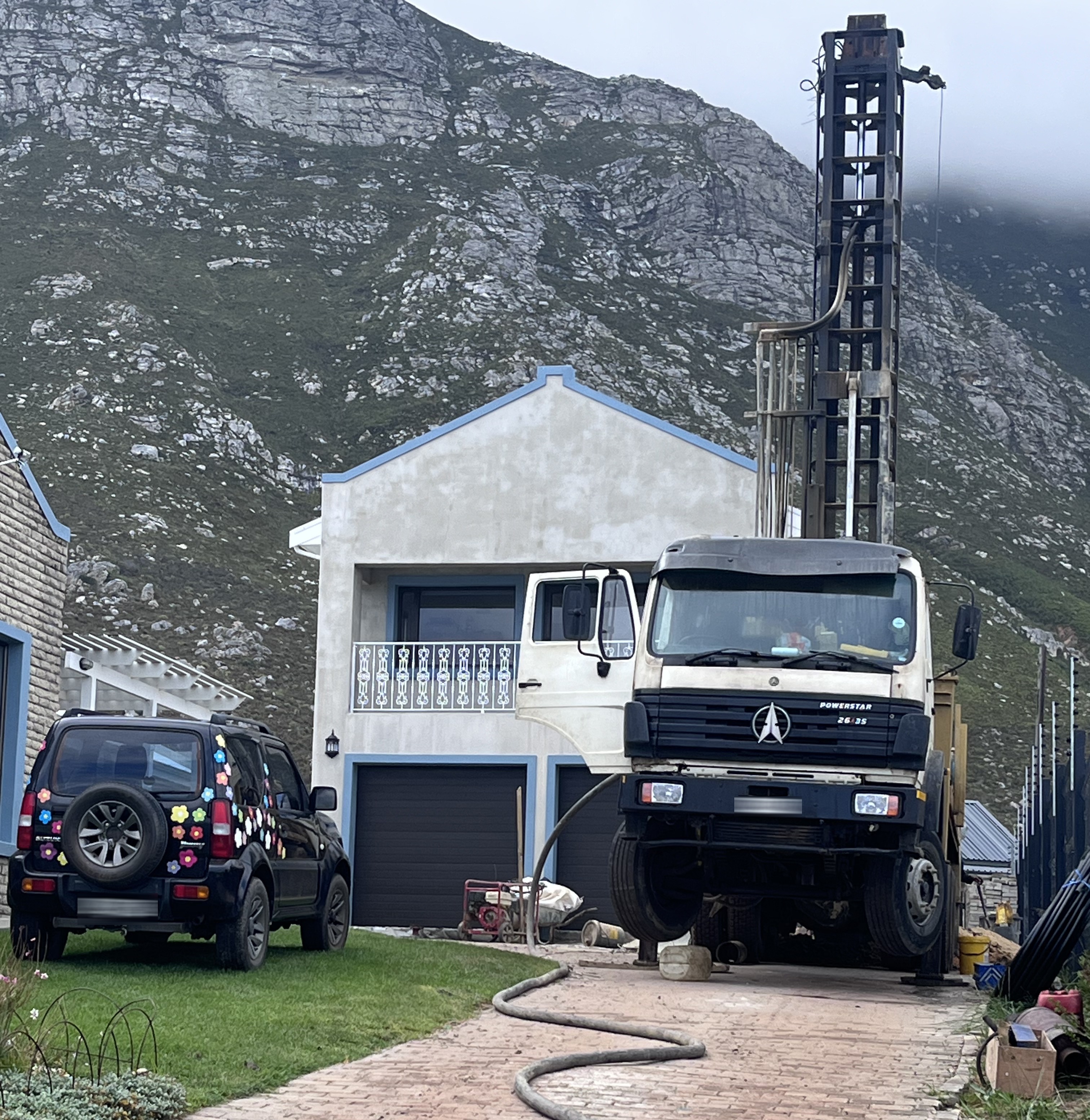
 a borehole being drilled in a driveway in Betty’s Bay. (Photo: Roger Parsons)
 /file/dailymaverick/wp-content/uploads/2025/10/label-Op-Ed.jpg)
Groundwater scientists have long been at odds with water dowsers – or stokkiewysers, call them what you will. It is the classic clash between science and belief. Dowsing has never been shown to work in any controlled scientific test – worldwide. I’ve long accepted that some are willing to spend thousands of rands on the twitch of a stick, but my irritation remains when I’m asked to “check the spot”.
In recent years, a new breed of stokkiewyser has emerged: those wielding so‑called groundwater detectors. These devices are promoted as geophysical instruments that can “find” groundwater. But this is not what they do. They measure some geophysical property, but not the presence of water. There are a number of them around, but the one in vogue at the moment comes out of China and their own brochures state that they “study the electrical structure inside the earth”.
Let’s be clear: there is only one geophysical instrument that can directly detect water, and it is not generally used in borehole siting applications. Nuclear magnetic resonance (NMR) operates on the same principles as magnetic resonance imaging (MRI) used in medicine. In geoscience, NMR is applied to borehole logging to quantify free water in soils and rocks, and to assess porosity, water content and permeability in aquifers. It is most effective in primary aquifers – which account for about 5% of aquifers in South Africa – and in regions of the northern hemisphere where Earth’s magnetic field is stronger. However, NMR is highly sensitive to background electromagnetic noise, making it impractical to use in urban environments.
NMR equipment is very expensive, far exceeding the R15,000 price tag for online “groundwater detectors” on sites such as Alibaba, AliExpress and eBay. Conventional geophysical systems range from about R200,000 to several million rands. Unlike the detectors, which are incredibly easy to use – allowing even someone with no training in geophysics to get an image purporting to show a model of the subsurface – geophysical tools demand specialist knowledge, rigorous methodology and expert interpretation.
Geophysics, a branch of geology and physics, measures physical quantities such as electric fields, magnetic fields and gravitational acceleration to obtain models of the subsurface distribution of the physical properties of soils and rocks, including electrical resistivity, magnetisability and mass density. It is widely used in mining, geotechnical investigations, infrastructure location and groundwater studies. Crucially, geophysics is an interpretive science, not a shortcut to guaranteed results.
The so‑called groundwater detectors measure electrical potential differences between two points on the ground surface, presenting the data as colourful two‑dimensional graphs that supposedly reveal subsurface lithology and structure to great depths. The brochures accompanying the instruments indicate that the groundwater detectors are telluric systems whose operations are based on the established theory of electromagnetic wave propagation in conductive media – the same theory used by conventional geophysical methods, such as magnetotellurics. However, geophysicists question the assumptions made by the groundwater detectors which appear to contradict the very theory they are allegedly based on.
Academics from the universities of the Free State and Witwatersrand have publicly challenged the validity of these devices, with further critique expected at the Southern African Geophysical Association conference in Cape Town in October 2026. In addition to the questionable application of theory, concerns include field practices, data processing and repeatability of results.
The geophysical community has long dealt with pseudoscientific claims of miraculous detection methods. During the 1970s oil crisis, for example, individuals claimed to divine oil reserves through mystical means, none of which stood up to investigation. More recently, Greg Hodges – a founding member of an international group of geophysicists dedicated to debunking nonsense science – developed a six-point checklist to flag dubious geophysical methods. Two red flags are particularly relevant here: overly simplistic field operation and impossibly precise results.
As hydrogeologists, we are trained in geophysics alongside some mathematics, chemistry, physics and computer science – all in service of understanding groundwater systems. Geological studies and hydrogeology are our core focus. Even with my training, I no longer conduct geophysical surveys myself – the equipment is costly, increasingly complex and requires specialist interpretation. When needed, I subcontract qualified geophysicists.
That’s why I’m astonished by the borehole siting reports that land on my desk which describe the outcome of borehole detection surveys – I have a collection of 20 of them. With a rare exception, none is authored by individuals with tertiary training in earth sciences, if any tertiary qualification at all. Reports are unsigned or authors not even identified.
/file/attachments/orphans/ED_577698_283314.jpg "A borehole operation in Johannesburg. (Photo: Gallo Images/Sharon Seretlo)")
Of the borehole siting reports reviewed, only one author identified the instrument used in their survey. Most reports fail to label graph axes or record units of measurement – minimum requirements in any professional document. Terms such as telluric, magnetic, resistivity, electromagnetic, electronic and even electro-seismic refraction amplitude are used – aimed at promoting scientific acceptability, yet no specifics are ever provided. What they do emphasise – almost in unison – is that water cannot be guaranteed, as though all are reading from the same script.
Legally, anyone practising in the natural sciences must be registered with the South African Council of Natural Scientific Professions (Sacnasp). None of the operators of these devices, nor the authors of the reports reviewed, is registered – even the individual with an advanced geological degree. This matter is currently being raised with Sacnasp.
Recent droughts and low dam levels have driven demand for domestic borehole drilling, creating fertile ground for opportunists charging R3,000 or more for groundwater detection. Before hiring, ask about their training, registration and experience. Sacnasp, the Ground Water Division and the Borehole Water Association can help in verifying credentials.
If something is too good to be true, it usually is. But if you’re still tempted, consider this: why are boreholes so often sited in driveways? You’d be just as well off buying a fine bottle of red wine, settling into a camping chair, tossing the cork over your shoulder and drilling where it lands. That spot is every bit as reliable as one chosen by a “groundwater detector”.
Science evolves, and new techniques must be welcomed – but only when subjected to rigorous scientific evaluation. In groundwater exploration, this is the only way to separate credible geophysics from pseudoscience. DM
Dr Roger Parsons is a hydrogeologist with more than 40 years’ experience. He practises as Roger Parsons Groundwater Consultant. He was awarded the Ground Water Medal by the Ground Water Division of the Geological Society of South Africa for furthering the knowledge of groundwater. He writes this article in his personal capacity.